Crescent Moon Ranch Cabin
4 mi southwest · USDA Forest Service
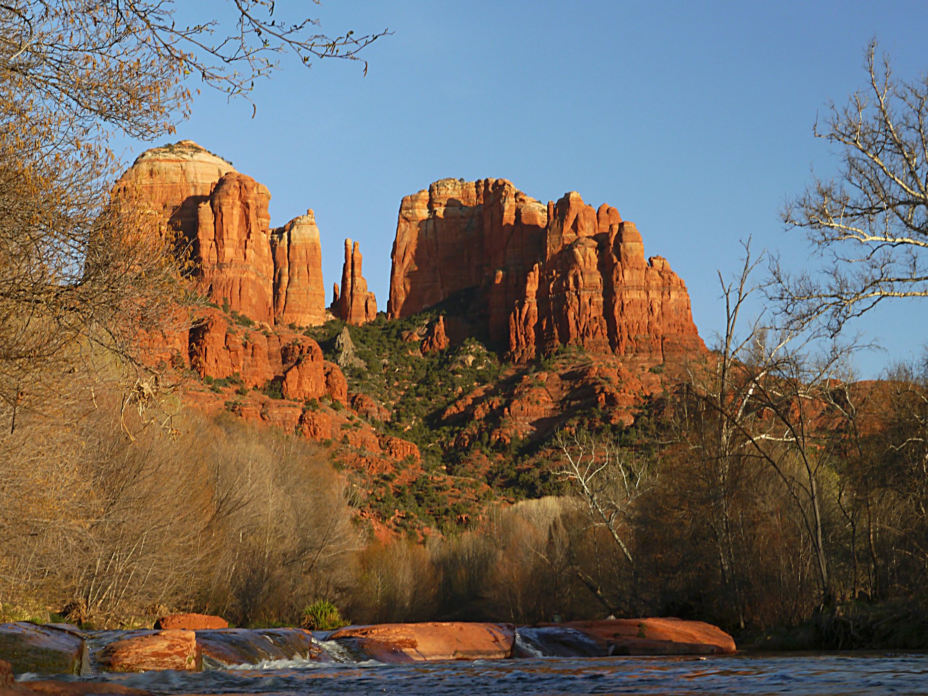
Crescent Moon Ranch is an exceptional year-round place to stay in beautiful Sedona.
Outdoors
Refuges, lakes and wild areas near Sedona for wildlife viewing and birdwatching.
Good to know: Early mornings and evenings are best for wildlife; bring binoculars and keep a respectful distance.
4 mi southwest · USDA Forest Service
Crescent Moon Ranch is an exceptional year-round place to stay in beautiful Sedona.
9 mi north · USDA Forest Service
Cave Springs sits in the scenic Oak Creek Canyon and is one of Coconino National Forest's most popular campgrounds. The campground is nestled in a forested canyon near the town of Sedona, Arizona, and its famous red rock cliffs.
10 mi north · USDA Forest Service
Pine Flat Campground is a popular camping spot in scenic Oak Creek Canyon in Arizona's Coconino National Forest. The campground is nestled in a forested canyon near the well-known town of Sedona, Arizona, and its red rock cliffs.
Map of 30 places loads as you scroll.
Crescent Moon Ranch is an exceptional year-round place to stay in beautiful Sedona.
Cave Springs sits in the scenic Oak Creek Canyon and is one of Coconino National Forest's most popular campgrounds. The campground is nestled in a forested canyon near the town of Sedona, Arizona, and its famous red rock cliffs.
Pine Flat Campground is a popular camping spot in scenic Oak Creek Canyon in Arizona's Coconino National Forest. The campground is nestled in a forested canyon near the well-known town of Sedona, Arizona, and its red rock cliffs.
Fernow Cabin offers a quaint, forested retreat near Flagstaff and Sedona, in central Arizona. The rustic, three-bedroom log cabin is a retired U.S.
This rustic forest cabin is located at the eastern base of Apache Maid Mountain, just two hours north of Phoenix and near the popular red rock canyons and outdoor recreation opportunities of Sedona, in central Arizona.
Dairy Springs is a comfortable campground tucked away in a scenic area of northern Arizona. Its main attraction is the seasonal Mormon Lake which, when filled with water, draws visitors for fishing, windsurfing and wildlife watching.
Established December 8, 1906, Montezuma Castle is the third National Monument dedicated to preserving Native American culture.
Water flows under and through this landscape, feeding the growth of people and towns. The Verde Valley is watered by snowmelt, summer monsoons, and springs that well up from the ancient sedimentary rocks.
Pinegrove Campground sits in the lush Coconino National Forest of northern Arizona, offering visitors countless recreation opportunities set in a stunning landscape.
White Horse Lake is an extremely popular fishing lake, 19 miles southeast of Williams, in northern Arizona.
This cozy group campground is tucked in the Lower Sonoran Desert along the banks of the fresh, chilly Clear Creek. Campers can wade in the creek, fish, or curl up with a book under the umbrella of cottonwood trees.
Looking for a perfect getaway to immerse yourself in nature? Look no further than the Mingus Mountain Campground!
Campers looking for some peace and quiet will find this relaxing campground offers cool summertime temperatures and easy access from scenic Hwy 89A in central Arizona. The campground is located at 7,200 ft.
.
Plan Your Visit Visitors to Agua Fria National Monument can hike in rugged landscapes, view rock art, and experience wide‑open desert vistas with few built facilities.
Nestled between the Painted Desert and ponderosa highlands of northern Arizona, Wupatki National Monument is an unlikely landscape for a thriving community.
The 80-mile Black Canyon Trail provides visitors with a long-range backcountry trail riding, mountain biking, and hiking opportunity.
The 9,951-acre Hells Canyon Wilderness Area is a portion of the Hieroglyphic Mountains. The most prominent peaks are Garfias Mountain at 3,381 feet (1,030.5 m) and Hellgate Mountain at 3,339 feet (1,017.7 m).
This newly expanded reservoir has 114 miles of shoreline for family recreation uses. The reservoir boasts a 10-lane boat ramp; parking for 200 vehicles. Recreational facilities concentrated primarily on the reservoir's western shore.
Entirely within the state of Arizona, the park encompasses 278 miles (447 km) of the Colorado River and adjacent uplands.
The 27,440-acre Upper Burro Creek Wilderness is located in Yavapai and Mohave counties in Arizona, 60 miles west of Prescott and 60 miles southeast of Kingman.
The 8,300-acre Tres Alamos Wilderness Area is in Yavapai County, 80 miles northwest of Phoenix, Arizona, and six miles south of the Santa Maria River.
The Burro Creek Recreation Site is situated along Burro Creek within a very scenic Sonoran Desert canyon at an elevation of 1,960 feet. This peaceful area has long been a favorite stop of travelers on nearby Highway 93.
A landscape where deep time lies fully on display, Petrified Forest National Park blends colorful badlands, vast grasslands, and one of the world’s largest and most vivid collections of petrified wood.
The 25,050-acre Harcuvar Mountains Wilderness in Arizona is managed by the Bureau of Land Management.
The 22,880-acre Harquahala Mountains Wilderness lies in Maricopa and La Paz counties, 80 miles northwest of Phoenix, Arizona. This wilderness contains part of one of western Arizona's largest desert mountain ranges.
This Corps lake is managed by Arizona State Parks. The project web address links to the Arizona State Parks web pages. Alamo Lake is one of the best bass lakes in Arizona. Also, the area has good wildlife viewing opportunities.
Distances are straight-line miles from downtown Sedona. Listings come from Recreation.gov’s federal recreation database; check each official page for hours, fees, fire restrictions and closures before you go.
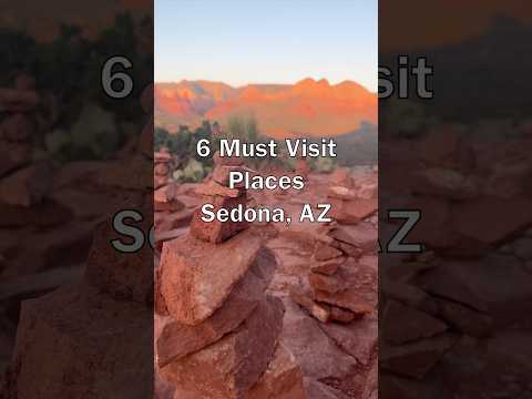
THINGS TO DO · YOUTUBE SHORT
A local activity Short shared by itravel.photos.
Watch on YouTube ↗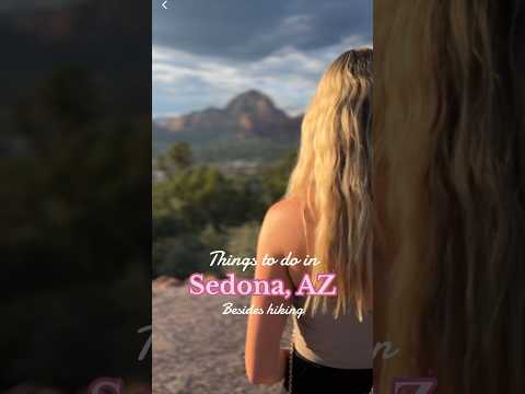
THINGS TO DO · YOUTUBE SHORT
A local activity Short shared by Jenny.
Watch on YouTube ↗


Crescent Moon Ranch Cabin (USDA Forest Service), about 4 miles southwest of Sedona as the crow flies. Next are Cave Spring (9 mi) and Pine Flat Campground West (10 mi).
Federal agencies including USDA Forest Service, Bureau of Land Management, National Park Service. Each listing links to its official page for hours, fees, closures and current conditions.