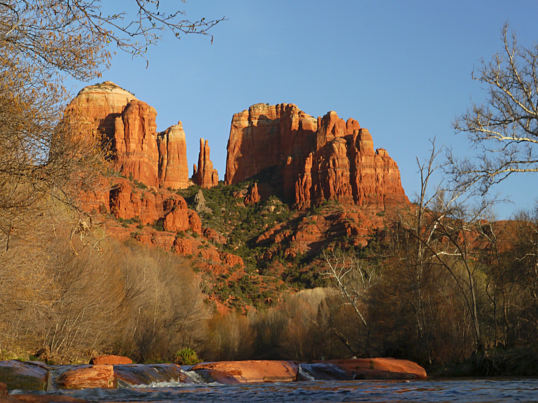
Cathedral Rock near Sedona

Outdoors

Horseback riding near Sedona

Trails and recreation areas near Sedona open to horseback riding, including horse camps.

14places to ride horses
17 mito the closest
2within 30 miles
October–Maybest months

Good to know: Check trailer parking and stock water at the trailhead, and whether certified weed-free hay is required.

Closest picks

1

Dairy Springs

17 mi east · USDA Forest Service

Dairy Springs is a comfortable campground tucked away in a scenic area of northern Arizona. Its main attraction is the seasonal Mormon Lake which, when filled with water, draws visitors for fishing, windsurfing and wildlife watching.
Map of all 14 places

Map of 14 places loads as you scroll.

Within 30 miles (2)

17 mi east · USDA Forest Service · Campground

Dairy Springs

Dairy Springs is a comfortable campground tucked away in a scenic area of northern Arizona. Its main attraction is the seasonal Mormon Lake which, when filled with water, draws visitors for fishing, windsurfing and wildlife watching.

  • Biking
  • Camping
  • Fishing
  • Hiking
  • Horseback riding
  • Picnicking
  • Wildlife viewing

29 mi northeast · USDA Forest Service

Coconino National Forest Recreation

  • Biking
  • Boating
  • Camping
  • Climbing
  • Fire Lookouts/Cabins Overnight
  • Fishing
  • Hiking
  • Horse Camping

30 to 75 miles (6)

33 mi southwest · USDA Forest Service

Prescott National Forest

.

  • Boating
  • Camping
  • Fire Lookouts/Cabins Overnight
  • Hiking
  • Horse Camping
  • Horseback riding
  • Picnicking
  • Wildlife viewing

35 mi northwest · USDA Forest Service

Kaibab National Forest

  • Biking
  • Boating
  • Camping
  • Fire Lookouts/Cabins Overnight
  • Fishing
  • Hiking
  • Horse Camping
  • Horseback riding

48 mi southwest · Bureau of Land Management

Agua Fria National Monument

Plan Your Visit Visitors to Agua Fria National Monument can hike in rugged landscapes, view rock art, and experience wide‑open desert vistas with few built facilities.

  • Biking
  • Birding
  • Dispersed Camping
  • Hiking
  • History
  • Horseback riding
  • Off-highway vehicles
  • Photography

67 mi south · USDA Forest Service

Tonto National Forest

  • Biking
  • Boating
  • Camping
  • Climbing
  • Fishing
  • Hiking
  • Horse Camping
  • Horseback riding

71 mi southwest · Bureau of Land Management

Hassayampa River Canyon Wilderness

The 11,840-acre Hassayampa River Canyon Wilderness Area is about eight miles northeast of Wickenburg. It is 48 miles northwest of Phoenix, Arizona, in Yavapai County.

  • Backpacking
  • Hiking
  • Horseback riding
  • Photography
  • Wilderness

72 mi south · Bureau of Land Management

Black Canyon National Recreation Trail

The 80-mile Black Canyon Trail provides visitors with a long-range backcountry trail riding, mountain biking, and hiking opportunity.

  • Accessible Facility Or Activity
  • Camping
  • Hiking
  • Horseback riding
  • Mountain Biking
  • Picnicking
  • Wildlife viewing

75 miles and farther (6)

81 mi north · National Park Service

Grand Canyon National Park

Entirely within the state of Arizona, the park encompasses 278 miles (447 km) of the Colorado River and adjacent uplands.

  • Biking
  • Boating
  • Camping
  • Fishing
  • Hiking
  • History
  • Horse Camping
  • Paddling

86 mi south · Bureau of Reclamation

WestWorld

WestWorld is located in north Scottsdale at the base of the McDowell Mountains. Surrounded by the Sonoran Desert with over 360 acres of pristine landscaping, the covered Equidome Arena, Brett's Barn, and state-of-the-art equine facilities…

  • Hiking
  • Horseback riding
  • Picnicking
  • Recreational Vehicles

92 mi southwest · Bureau of Land Management

Tres Alamos Wilderness

The 8,300-acre Tres Alamos Wilderness Area is in Yavapai County, 80 miles northwest of Phoenix, Arizona, and six miles south of the Santa Maria River.

  • Backpacking
  • Camping
  • Hiking
  • Horseback riding
  • Photography
  • Wilderness
  • Wildlife viewing

112 mi east · National Park Service

Petrified Forest National Park

A landscape where deep time lies fully on display, Petrified Forest National Park blends colorful badlands, vast grasslands, and one of the world’s largest and most vivid collections of petrified wood.

  • Biking
  • Camping
  • Hiking
  • History
  • Horse Camping
  • Horseback riding
  • Picnicking
  • Wildlife viewing

113 mi southwest · Bureau of Land Management

Harcuvar Mountains Wilderness

The 25,050-acre Harcuvar Mountains Wilderness in Arizona is managed by the Bureau of Land Management.

  • Backpacking
  • Climbing
  • Hiking
  • Horseback riding
  • Hunting
  • Wilderness
  • Wildlife viewing

113 mi southwest · Bureau of Land Management

Harquahala Mountains Wilderness

The 22,880-acre Harquahala Mountains Wilderness lies in Maricopa and La Paz counties, 80 miles northwest of Phoenix, Arizona. This wilderness contains part of one of western Arizona's largest desert mountain ranges.

  • Backpacking
  • Bird Watching
  • Birding
  • Dispersed Camping
  • Hiking
  • Horseback riding
  • Wilderness
  • Wildlife viewing

Distances are straight-line miles from downtown Sedona. Listings come from Recreation.gov’s federal recreation database; check each official page for hours, fees, fire restrictions and closures before you go.

Get outside around Sedona

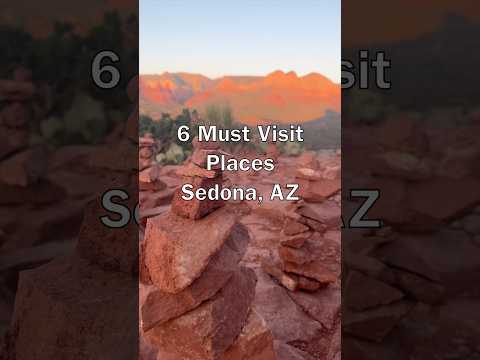
Top Places in Sedona Arizona: Breathtaking Places You Must Visit! video thumbnail

THINGS TO DO · YOUTUBE SHORT

Top Places in Sedona Arizona: Breathtaking Places You Must Visit!

A local activity Short shared by itravel.photos.

Watch on YouTube ↗
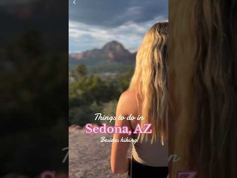
Things to do in Sedona, AZ besides hiking 🧡🏜️⛲️ video thumbnail

THINGS TO DO · YOUTUBE SHORT

Things to do in Sedona, AZ besides hiking 🧡🏜️⛲️

A local activity Short shared by Jenny.

Watch on YouTube ↗

Around Sedona

Arizona 2014, Sedona
Arizona 2014 058Jwagg0309 · CC BY-SA 3.0
Sedona-Jordan Historical Park- Winona Railroad Station and Telegraph office-1890
Sedona-Jordan Historical Park- Winona Railroad Station and Telegraph office-1890Marine 69-71 · CC BY-SA 4.0
Sedona-Jordan Historical Park- Fruit Packing House-1946-1
Sedona-Jordan Historical Park- Fruit Packing House-1946-1Marine 69-71 · CC BY-SA 4.0

More outdoors near Sedona

Questions

Where is the closest place for horseback riding near Sedona?

Dairy Springs (USDA Forest Service), about 17 miles east of Sedona as the crow flies. Next are Coconino National Forest Recreation (29 mi) and Prescott National Forest (33 mi).

When is the best time for horseback riding near Sedona?

Based on Sedona’s average highs, October–May. Conditions at higher elevations can be much cooler.

Who manages these places?

Federal agencies including Bureau of Land Management, USDA Forest Service, National Park Service. Each listing links to its official page for hours, fees, closures and current conditions.

Sedona AI

Your Sedona local guide
Hey there!

I'm Sedona AI. Ask about neighborhood food, independent shops, local history or planning a visit.

AI recommendations may be inaccurate. Verify hours and prices. Questions are processed by Cloudflare. Privacy