Cathedral Rock near Sedona

Outdoors

Boating and kayaking near Sedona

Lakes, reservoirs and rivers near Sedona for boating, kayaking, canoeing and paddleboarding.

9places to boat and paddle
20 mito the closest
3within 30 miles
March–June, August–Novemberbest months

Good to know: Life jackets are required for children on most waters, and many lakes require an invasive-species inspection or a launch fee.

Closest picks

1

Pinegrove

20 mi northeast · USDA Forest Service

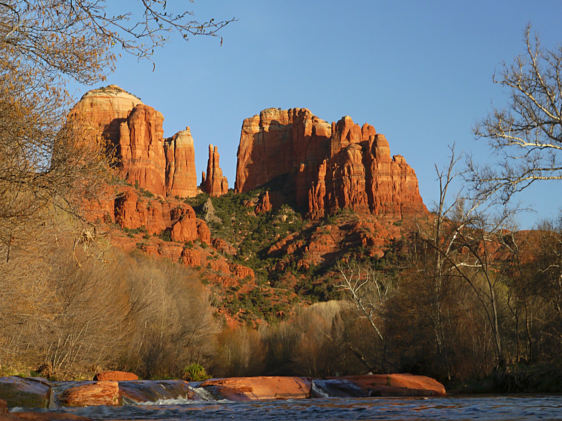
Pinegrove Campground sits in the lush Coconino National Forest of northern Arizona, offering visitors countless recreation opportunities set in a stunning landscape.
2

WHITE HORSE LAKE Campground

22 mi northwest · USDA Forest Service

White Horse Lake is an extremely popular fishing lake, 19 miles southeast of Williams, in northern Arizona.

Map of all 9 places

Map of 9 places loads as you scroll.

Within 30 miles (3)

20 mi northeast · USDA Forest Service · Campground

Pinegrove

Pinegrove Campground sits in the lush Coconino National Forest of northern Arizona, offering visitors countless recreation opportunities set in a stunning landscape.

  • Biking
  • Boating
  • Camping
  • Fishing
  • Hiking
  • Wildlife viewing

22 mi northwest · USDA Forest Service · Campground

WHITE HORSE LAKE Campground

White Horse Lake is an extremely popular fishing lake, 19 miles southeast of Williams, in northern Arizona.

  • Biking
  • Boating
  • Camping
  • Fishing
  • Hiking
  • Kayaking
  • Picnicking
  • Ranger programs

29 mi northeast · USDA Forest Service

Coconino National Forest Recreation

  • Biking
  • Boating
  • Camping
  • Climbing
  • Fire Lookouts/Cabins Overnight
  • Fishing
  • Hiking
  • Horse Camping

30 to 75 miles (3)

33 mi southwest · USDA Forest Service

Prescott National Forest

.

  • Boating
  • Camping
  • Fire Lookouts/Cabins Overnight
  • Hiking
  • Horse Camping
  • Horseback riding
  • Picnicking
  • Wildlife viewing

35 mi northwest · USDA Forest Service

Kaibab National Forest

  • Biking
  • Boating
  • Camping
  • Fire Lookouts/Cabins Overnight
  • Fishing
  • Hiking
  • Horse Camping
  • Horseback riding

67 mi south · USDA Forest Service

Tonto National Forest

  • Biking
  • Boating
  • Camping
  • Climbing
  • Fishing
  • Hiking
  • Horse Camping
  • Horseback riding

75 miles and farther (3)

77 mi southwest · Bureau of Reclamation

Lake Pleasant

This newly expanded reservoir has 114 miles of shoreline for family recreation uses. The reservoir boasts a 10-lane boat ramp; parking for 200 vehicles. Recreational facilities concentrated primarily on the reservoir's western shore.

  • Biking
  • Boating
  • Camping
  • Fishing
  • Hiking
  • History
  • Off-highway vehicles
  • Picnicking

81 mi north · National Park Service

Grand Canyon National Park

Entirely within the state of Arizona, the park encompasses 278 miles (447 km) of the Colorado River and adjacent uplands.

  • Biking
  • Boating
  • Camping
  • Fishing
  • Hiking
  • History
  • Horse Camping
  • Paddling

114 mi southwest · US Army Corps of Engineers

Alamo Lake

This Corps lake is managed by Arizona State Parks. The project web address links to the Arizona State Parks web pages. Alamo Lake is one of the best bass lakes in Arizona. Also, the area has good wildlife viewing opportunities.

  • Boating
  • Camping
  • Fishing
  • Hiking
  • Picnicking
  • Water sports
  • Wildlife viewing

Distances are straight-line miles from downtown Sedona. Listings come from Recreation.gov’s federal recreation database; check each official page for hours, fees, fire restrictions and closures before you go.
Get outside around Sedona

Top Places in Sedona Arizona: Breathtaking Places You Must Visit! video thumbnail

THINGS TO DO · YOUTUBE SHORT

Top Places in Sedona Arizona: Breathtaking Places You Must Visit!

A local activity Short shared by itravel.photos.

Watch on YouTube ↗
Things to do in Sedona, AZ besides hiking 🧡🏜️⛲️ video thumbnail

THINGS TO DO · YOUTUBE SHORT

Things to do in Sedona, AZ besides hiking 🧡🏜️⛲️

A local activity Short shared by Jenny.

Watch on YouTube ↗

Around Sedona

Airport Road Sunset, Sedona, AZ 7-13
Airport Road Sunset, Sedona, AZ 7-13 (31510339224)inkknife_2000 (7.5 million views +) · CC BY-SA 2.0
Make me smile please, Sedona Arizona
Make me smile please, Sedona Arizona (1)Jack CameraMan · CC BY 3.0
Sedona Botanical Garden sign
Sedona Botanical Garden signNadiatalent · CC BY-SA 4.0

More outdoors near Sedona

Questions

Where is the closest place for boating & paddling near Sedona?

Pinegrove (USDA Forest Service), about 20 miles northeast of Sedona as the crow flies. Next are WHITE HORSE LAKE Campground (22 mi) and Coconino National Forest Recreation (29 mi).

When is the best time for boating & paddling near Sedona?

Based on Sedona’s average highs, March–June, August–November. Conditions at higher elevations can be much cooler.

Who manages these places?

Federal agencies including USDA Forest Service, Bureau of Reclamation, National Park Service. Each listing links to its official page for hours, fees, closures and current conditions.

Sedona AI

Your Sedona local guide
Hey there!

I'm Sedona AI. Ask about neighborhood food, independent shops, local history or planning a visit.

AI recommendations may be inaccurate. Verify hours and prices. Questions are processed by Cloudflare. Privacy